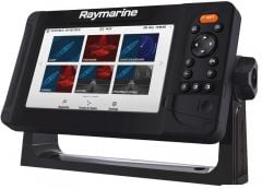
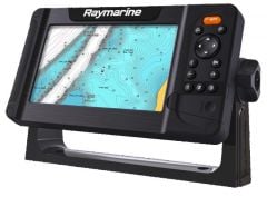
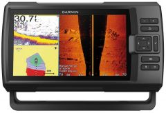
Cartographic GPS echo sounders, fishfinders and chartplotters

Selection of Garmin and Raymarine GPS echo sounders supplied with and without transducer to be combined with catalog navionics maps and with fishfinder functions. Very bright displays of different sizes.
-
-
-
-
-
-
-
-
-
-
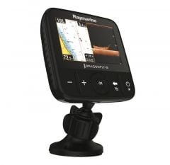
 Garmin EchoMap Plus chartplotter 42cv with transducer Sku code: 29.043.02€432.52 €351.64Out of stock
 -
-
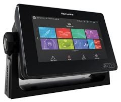
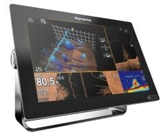
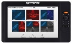
 Axiom Pro 9 Rvx touchscreen multifunction display Sku code: 29.703.39€2,942.92 €2,392.62Out of stock
 -
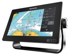
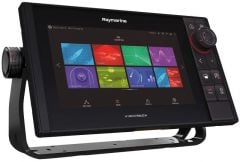
 Axiom Pro 12 Rvx touchscreen multifunction display Sku code: 29.703.32€4,394.73 €3,572.95Out of stock
 -
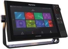
Axiom Pro 12 S touchscreen multifunction display Sku code: 29.703.12€4,122.52 €3,351.64Out of stock
-
-
-
-
-
-
-
-
-
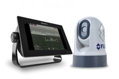
 Garmin chartplotter GPSMap 722xswidthRadar GMR18 HD+ Sku code: 29.042.15€2,428.75 €1,974.59Out of stock
 -
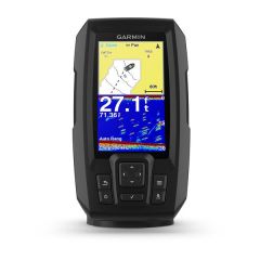
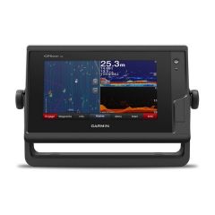
Fishfinders and cartographic GPS
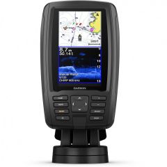
In this category we offer combined GPS sounder systems, devices that act as a navigation aid both in terms of maintaining the route you want to follow and in analyzing the seabed, whether you want to enter a port or anchor in the harbor. The GPS fishfinders in the catalog have very bright 4 "to 9" displays to ensure excellent vision even in direct sunlight. Garmin fishfinders are compatible with Bluechart G3 and Bluechart G3 Vision nautical maps which, thanks to the free ActiveCaptain app and wi-fi connectivity, can be kept up to date. Raymarine GPS fishfinders are also compatible with Navionics cartography present in our shop. Like any chartplotter, they offer the possibility to save the points of the most interesting positions in order to set the route and some models offer the possibility of drawing bathymetry on the screen in real time. Thanks to the transducers they are equipped with, they are able to offer a clear image of the underlying seabed in order to avoid dangerous points and can be used as a fish finder being able to identify fish up to 200 m deep both for coastal fishing and fishing. in inland waters.