Nautical maps for GPS Navionics and Garmin

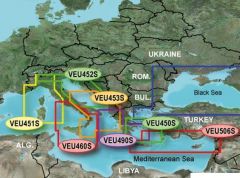
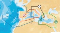
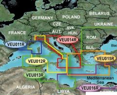
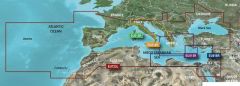
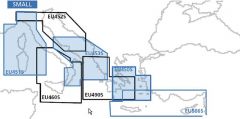
Nautical maps for GPS in small to extra large versions showing small sectors of our coast up to the whole Mediterranean. GPS charts mounted on microsd supports.
-
-
-
-
-
-
-
-
Navionics XL9-43XG nautical chart Mediterranean Black Sea Canaries and Azores Sku code: 29.080.08€271.20 €220.49
-
-

-
-
-
Charts for GPS
The nautical charts for GPS offer great support to navigation and offer total coverage and a high level of detail both as regards the ports, the possible routes to follow and the depth lines and currents. Nautical maps are generally inserted into the GPS device via SD or micro SD card and it is sufficient to choose the sector of interest at the time of purchase. Navionics cartographies are compatible with most of the instruments on the market and you can choose between all European sea sectors or the whole Mediterranean area. The small version offers the possibility to load only concerning our peninsula and islands. Garmin Bluechart G3 maps stand out from the others as they are compatible only with the instruments of this brand. They also offer the Autoguidance function which leaves the chartplotter the ability to suggest the route to follow.