General small-scale nautical charts

General nautical charts showing large sectors of the national seas useful for long navigation. They present few details and reach the borders with other states.
Nautical charts small scale
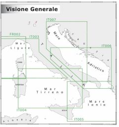
Less used but still relevant are general or small-scale nautical charts, from 1: 5,000,000 to 1: 300,000, they are less detailed than coastal and coastal maps. Used for long open sea voyages, they are equipment for correspondence on large boats and work boats. Navimap offers up-to-date general nautical charts split on two sides. Dimensions 47.7 cm X 69.7 cm.